
Trace a Teaneck Street Address
A Teaneck street directory search should move from the address to a stable parcel identifier, then to records that use that identifier or a dated party name. The municipal property-card search and tax map establish the present address form. The Bergen County Parcel Viewer shows geometry, frontage, adjoining parcels, and map layers. The deed index then tests recorded ownership or other instruments. Directory and election material need a separate, limited reading. An address match is a start, not proof that every person connected with it resides there now.
- Run the complete address through the Teaneck property-card portal and note district, block, lot, and qualifier.
- Open the county parcel map to confirm shape, frontage, and adjacent parcel identifiers.
- Search the Bergen land index using legal town, block, lot, a party name, or date range.
- For a historical household, compare a dated directory with census, deed, vital, newspaper, or archive evidence.
- Use the state voter-status path only for its stated election purpose, with exact spelling and a search date.
A street-by-street record trail can make the distinction between a parcel owner, deed party, directory subscriber, and registered voter visible. Those are different record roles.
Teaneck Street Directory Property Fields
Teaneck's property-record-card page links to the Bergen assessment search for district 0260. The public form supports a current owners and assessment list or a deed and SR1A list. It permits simple or advanced searching, with address or location, owner name when the selected list supports it, block, lot, qualifier, property class, and sale-date controls. Results can be single-line, multiline, or Excel output. That field set makes the property card a strong address anchor for the Teaneck street directory.
| Search field | Teaneck by-address use | Caution |
|---|---|---|
| Location | Tests a current address form. | Check suffixes and former names separately. |
| Block, lot, qualifier | Creates a stable parcel anchor. | Copy each part as displayed. |
| Owner name | Finds a displayed assessment or deed-list lead. | It does not establish occupancy. |
| Sale date | Narrows an SR1A search. | Recent sales may not be final. |
| Property class | Filters advanced results. | Class is a record category, not a personal fact. |
Teaneck's property-card description links to the official vendor route and explains the record type.
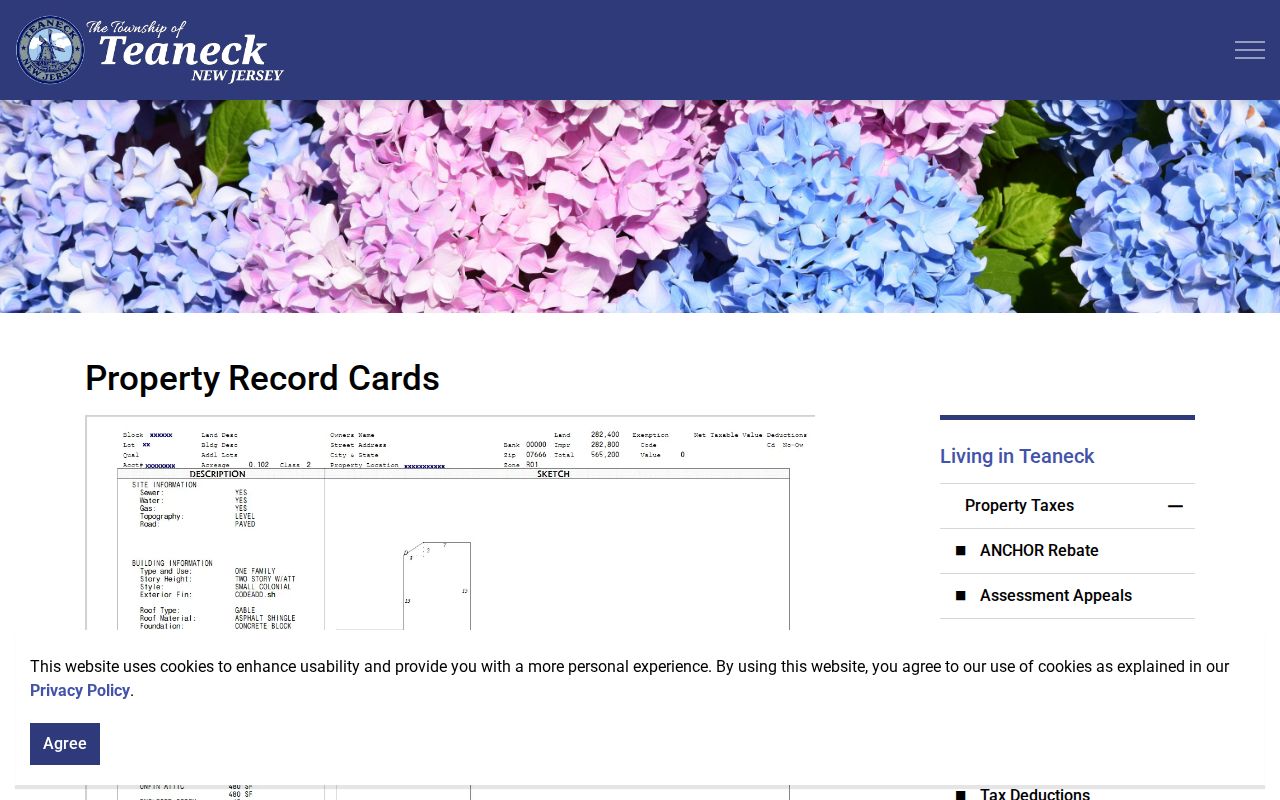
The property-card explanation helps keep a Teaneck result in its proper assessment and parcel context.
Teaneck Tax Maps and Street Geometry
Municipal maps help reconcile a street name with a parcel number before a deed or permit search begins. Teaneck offers tax, voter-district, zoning, and other municipal maps. The municipal tax map is useful for checking a block and lot or map sheet, but it is not a deed or legal survey. Combine it with the assessment card and County Parcel Viewer. That comparison is especially helpful when a printed directory uses an abbreviated street suffix, an older number, or a historic label.
Teaneck's map page gathers the municipal mapping routes used to identify an address and parcel.
Map confirmation lets a Teaneck street search keep the address, block, lot, and legal map context together.
Teaneck Streets in the County Parcel Viewer
Bergen County GIS adds the spatial layer to a Teaneck street directory search. The Parcel Viewer can show parcel shape, street frontage, adjacent parcels, block and lot labels, and available map layers. The county identifies the viewer as its parcel-map interface, while NJGIN offers a statewide cross-check by address, county, municipality, block, and lot. County and municipal data stewardship, update timing, and display fields can differ. NJGIN hosted owner names are redacted under Daniel's Law.
Map adjacency has a narrow meaning. It can show which parcels touch or lie near each other. It cannot show a personal relationship, a household list, or participation in the same group. Keep the map date and layer in the research note.
Bergen County GIS information identifies the county parcel-viewer route and stewardship context.
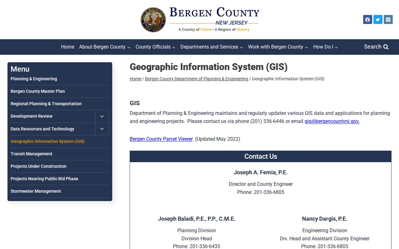
The county GIS description makes clear why a Teaneck parcel map is best used alongside the property card and recorded documents.
The Bergen County Parcel Viewer supplies the map controls for an address or parcel inspection.

A Teaneck map popup can be recorded as parcel evidence without inferring anything about the people around that parcel.
Teaneck Records by Street Address
The Teaneck street directory draws from records keyed in different ways. An assessor card is usually address and parcel centered. GIS is spatial. A deed index is party and legal-description centered. Building records use the address or a Zoning Control Number. Historical directories can place a subscriber or household heading at an address for a particular edition. The sources become more useful when their differences are retained instead of flattened into one list.
| Address record | What it supplies | Teaneck custodian or route | Known boundary |
|---|---|---|---|
| Property record card | Property identification, construction details, valuation elements | Teaneck assessor portal | Display and currentness warnings apply |
| Tax map and GIS | Block, lot, geometry, frontage, adjacent identifiers | Teaneck maps and Bergen GIS | Not a deed or household roster |
| Land records | Parties, instruments, legal description, date | Bergen County Clerk | Online index begins 1970 |
| Permits and zoning | Application and work-process leads | Teaneck Building Department | Release and completeness vary |
| Directories and maps | Historic address and institutional context | Library and historical collections | Not complete occupancy proof |
Note: A public voter status or a historical directory entry should be dated and read as a narrow record, never as continuous residence evidence.
Teaneck Deeds Along a Street
The Bergen land-record index covers January 1, 1970 to the present. Its official help documents Party Name, Document Type or Group, Date From and To, Book Type, Book and Page, Clerk's File Number, consideration, legal town, lot, block, map number, and linked documents. Party names have automatic wildcard behavior, multiple names can be added, and a two-party AND search can narrow a transaction. F2 opens detail and F5 opens an image where the system makes one available.
For an old Teaneck address, search grantor and grantee names as well as street text. Older instruments can use a lot description, farm name, former street name, or subdivision reference. A deed can produce one row for each party. Record related mortgages, releases, assignments, liens, and maps when they explain a chain or a parcel change. County staff do not search for the requester, although records can be viewed and copied through the Records Division.
- Situs address
- The physical street address used to identify a property location.
- Plat
- A map that shows a subdivision, lots, or related land layout.
- Legal description
- The land description used in a recorded instrument, often more durable than street text.
- Criss-cross directory
- An address-arranged volume that can suggest a historical household lead.
The Bergen land-record index provides the basic and advanced entry points for a recorded-document search.
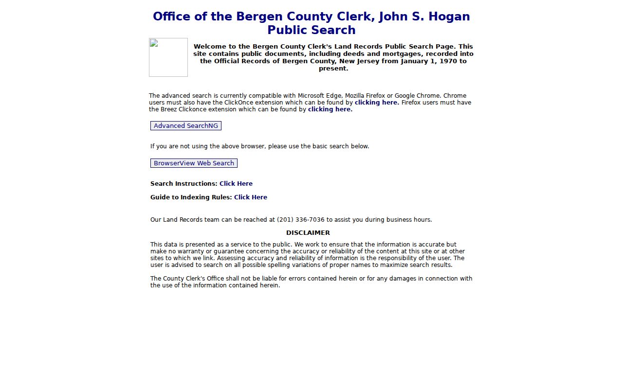
The county search options show why a Teaneck street history may require a party or legal-description search rather than an address alone.
Former Teaneck Street Names
Street-name history is a practical Teaneck street directory tool. John Street South was formerly Orchard Court, Overlook Avenue was Parkway, Palisade Avenue was Station Street, and Pomander Walk joined former Riverside Avenue on the west and Kipp Avenue on the east. Queen Anne Road was Westfield Avenue after the 1867 map. Teaneck Road north of Cedar Lane was once Washington Avenue. Search both versions and retain the source year.
The 1934 engineering report says north numbering used the Ridgefield Park boundary, while east and west numbering used Teaneck Road as a basis. Engineering assigned and corrected house numbers. This can explain why an old number appears out of sequence. Honorary signs, even when a municipal resolution recognizes them, do not change a legal street name or postal address.
Teaneck Permits by Address
Teaneck's zoning and building workflow can add context to a street research file. Zoning approval comes before new buildings, additions, sheds, driveways, pools, fences, and changes in use. The Building Department describes online or physical applications, incomplete-submission rejection, scale drawings and plans where applicable, permit types, final inspection, resubmission charges, and ordinary review periods of up to 20 business days. A permit status check uses the Zoning Control Number through extension 1100.
These process facts do not promise that every address file is public or complete. Treat a permit as a specific construction or zoning lead. Match its control number, date, address, and release conditions before connecting it to a parcel chronology.
Teaneck's building-permit page outlines the municipal approval and status process.
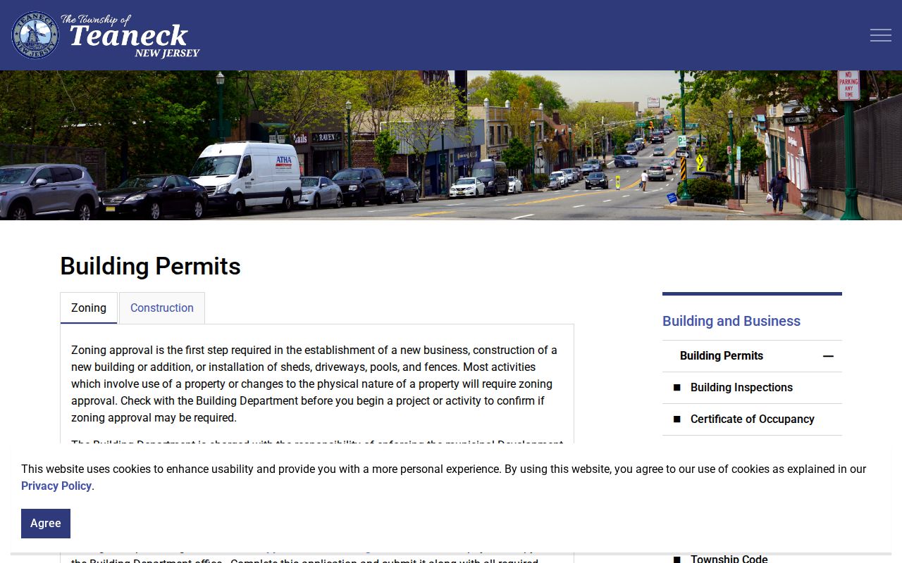
The permit process offers a Teaneck address researcher a record of work flow, not a general account of a household.
Teaneck Street Directory History Clues
For historic work, the Teaneck Library archive and the county historical collections provide a different layer. The archive includes house and landmark material, oral histories, manager reports, school and civic records, railroad and post-office history, and yearbooks from 1930 to the present. Richmond's Hackensack directories for 1926 and 1928 and Polk's 1931 directory include Teaneck, although the complete physical run and an image-level entry were not verified in the research. That open gap should remain part of the citation.
When the goal changes from the current address chain to the old volumes, the Teaneck city directory collections explain the historical shelf. When it changes to one person, use a separate identity workflow rather than treating a street list as a personal profile.
Limits of a Teaneck Street Directory
A Teaneck street directory cannot provide a complete list of people at an address. Assessment owners, deed grantees, historic subscribers, and map-adjacent parcel owners each describe a limited record role. State-hosted parcel products redact owner names under Daniel's Law. Vital records have eligibility rules. Court material can be sealed or restricted. Motor-vehicle information is subject to federal privacy limits. A missing name may be a protected or unindexed field, not an invitation to assemble it from unrelated sources.
For an exact postal result, confirm a full address with USPS and keep the returned standardized city, ZIP+4, and lookup date. A ZIP is a delivery construct, not proof of a municipal boundary or residence.